Daily Dose showed off the Big Blue Bug in Google Street View on their site. It never even occurred to me that one could embed a Street View image.
So, please to enjoy, the Parking-lot-ification of Providence:
Old Public Safety Complex Memorial Parking Lot™ | View Larger Map
Grove Street School | View Larger Map
Weybosset/Westminster Streets, Grants Lot Block | View Larger Map
Atwells Avenue, Belmonte Castello | View Larger Map
The Parking Lot District | View Larger Map
Parking Lot District 2, Rhode Island Hospital Area | View Larger Map
(God Bless) America Street, Federal Hill | View Larger Map
State of Rhode Island Department of “Transportation” | View Larger Map


What? No view of the parking lots behind atwells avenue, where America St School and about 4 acres of housing used to be? How about the hole in the ground that was supposed to be Belmont Castello? The historic Parking Lot district downtown? How about RI Hospital?
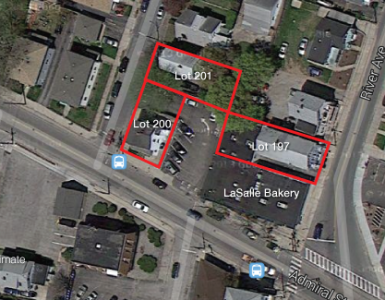
Here is but one view of the historic parking lot district:
View Larger Map
Cool Post