
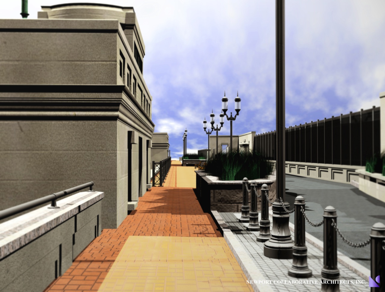
[alert type=”muted”]RIDOT: Washington Bridge Bikeway & Linear Park[/alert]An 11-foot-wide bike lane, yet to be paved, runs the length of the bridge from East Providence to Providence. Alongside it, but separate, is a partially poured, stamped-concrete 7-foot-wide path for walkers. At the center and widest part of the span, a small park is taking shape with expansive water views.
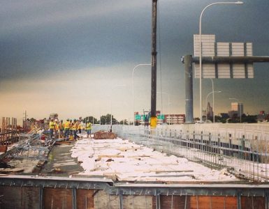
In the summer of 2012, the Department of Transportation closed the span — along with its narrow and harrowing path for bikers and walkers — to begin the $21.8-million “linear park” project. More than two years later, it’s expected to reopen, largely on schedule, in November.


I wonder what can be put in the works to connect to this bridge better? The Gano connection is still kind of a stressful “bike route”, as are the Point Street approach, Water Street, etc. Still a make-or-break for the last mile in terms of connecting families in or out of the city.
Some one suggested making Gano a one-way pair with some other street, and using half the width to move bikes. I think the gridded-ness of the East Side might really work for that–just one lane each way. With a narrower approach at many intersections, this could also reduce signalization, giving drivers/cyclists a smoother, faster travel time.
Its in the Transportation Improvement Program to use a Bay Commission right of way for a bike path along the shore that would connect to the Richmond Square area, avoiding most of Gano. With its access to I-195 not likely anyone would agree to make Gano one-way.
When the bridge was open to bikes, I mainly was concerned with Wickenden. Any ideas for making that friendlier for bikes?
The off-road shore-front bike path from Richmond Square to Gano just north of the 195 bridge is I think set to start work in the spring. The plans for it are in the City Planning Department, we saw them at the last BPAC meeting.
There is a final Iway related project to straighten out India Street to connect directly to Gano Street under the 195 bridge, also I think slated for this spring. That would allow some sort of bike connection, ideally a two-way cycle track on the water side of Gano, to make the last connection to the Washington Bridge. I have not seen any plans for that project, it is probably time to be ensuring that RIDOT’s plans are good in that regard before they start working.
I don’t know of any plans to make Wickenden any better, but there is a shared use path from the India Point Park footbridge along the highway to the Wickenden Interchange. There are plans for bike accommodations at that intersection, but I don’t think they are terribly ideal.
Jeff — Do you know if there is a date set for the opening yet, and if they have any plans for a ceremony / ribbon cutting type of thing for it? thx
I have not heard a specific date yet.